

Seguridad y
Naval Defense
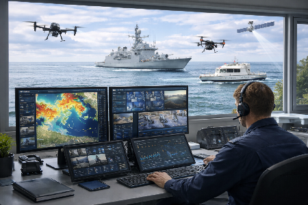
We strengthen maritime security operations through solutions based on Geographic Information Systems (GIS), command and control centers, sensor integration, real-time monitoring, and geospatial analysis. Our technology enables the centralization of critical information to enhance surveillance, coordination, and strategic decision-making in naval environments.
Maritime Surveillance
Continuous monitoring of vessels, port infrastructure, and strategic areas.
Geospatial Intelligence
Geographic analysis to support tactical and strategic operations in real time.
Technological Integration
Integration of radars, drones, cameras, AIS, and multiple information sources.
