



🛰️
Visual Intelligence
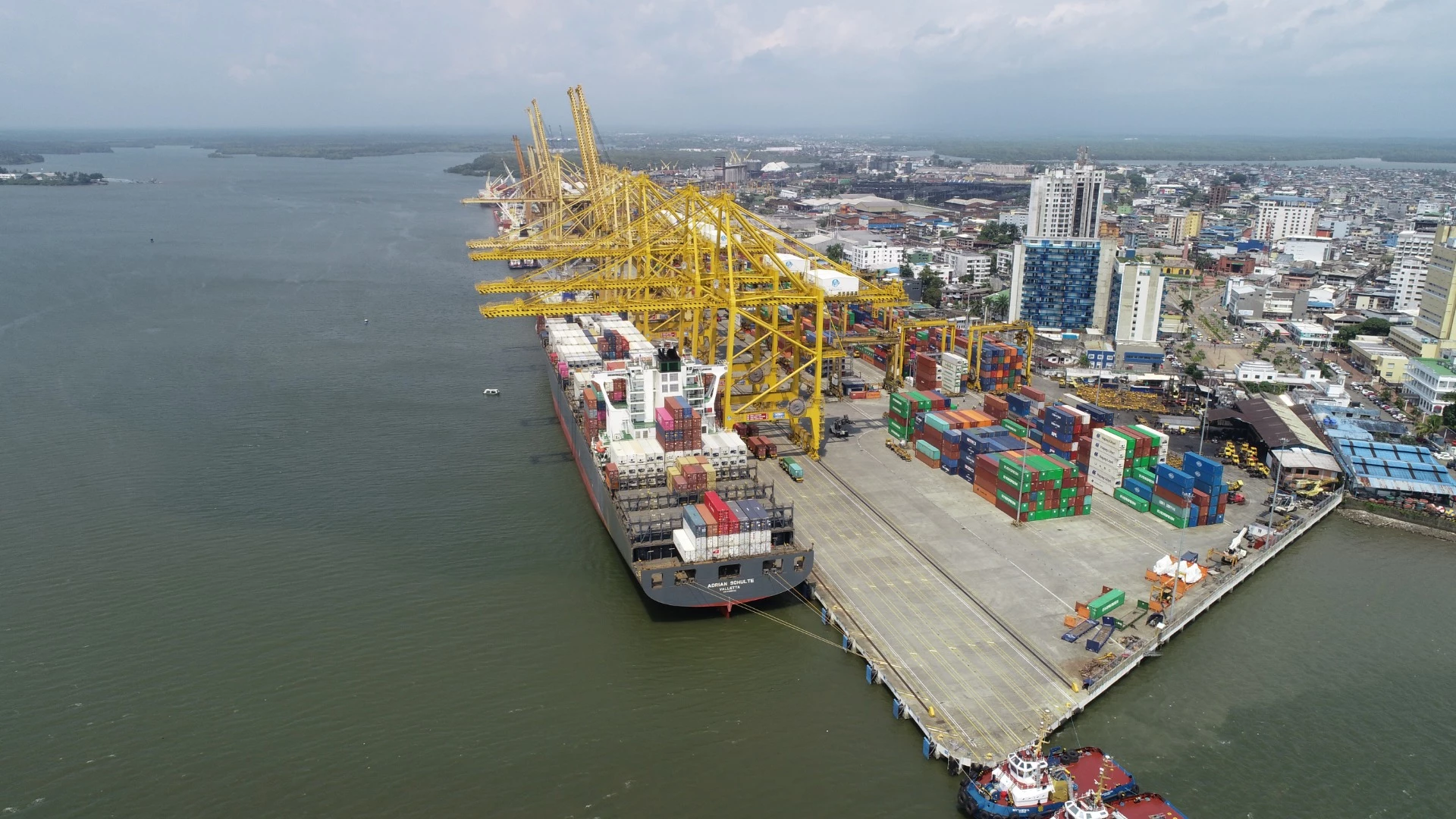
We transform images captured by drones, satellites, and other sources into high-value geospatial information. Through orthomosaics, 3D models, and advanced analysis, we facilitate risk identification, asset inspection, and the monitoring of strategic areas.

