

Smart Integrations
We develop solutions that integrate ArcGIS, artificial intelligence, process automation, and geospatial technologies to optimize business operations and support smarter decision-making.

AI-Powered Automatic Counting
Application developed to automate the counting of people and objects using artificial intelligence integrated with ArcGIS.

Automatic Georeferencing
Capture and process drone data to update mapping information and generate geoespatial analysis.
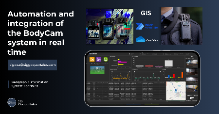
Real-Time Monitoring
Visualize operational events through intelligent dashboards and dynamic maps with real-time updates.

Security & Defense
Integrate geospatial information to strengthen surveillance operations, territorial analysis, and strategic decision-making.

Smart Operations Management
Automate operational processes and personnel tracking through geospatial platforms integrated with ArcGIS.

Port Security Management
Solution for monitoring port operations using ArcGIS tools, intelligent dashboards, and geospatial analytics.